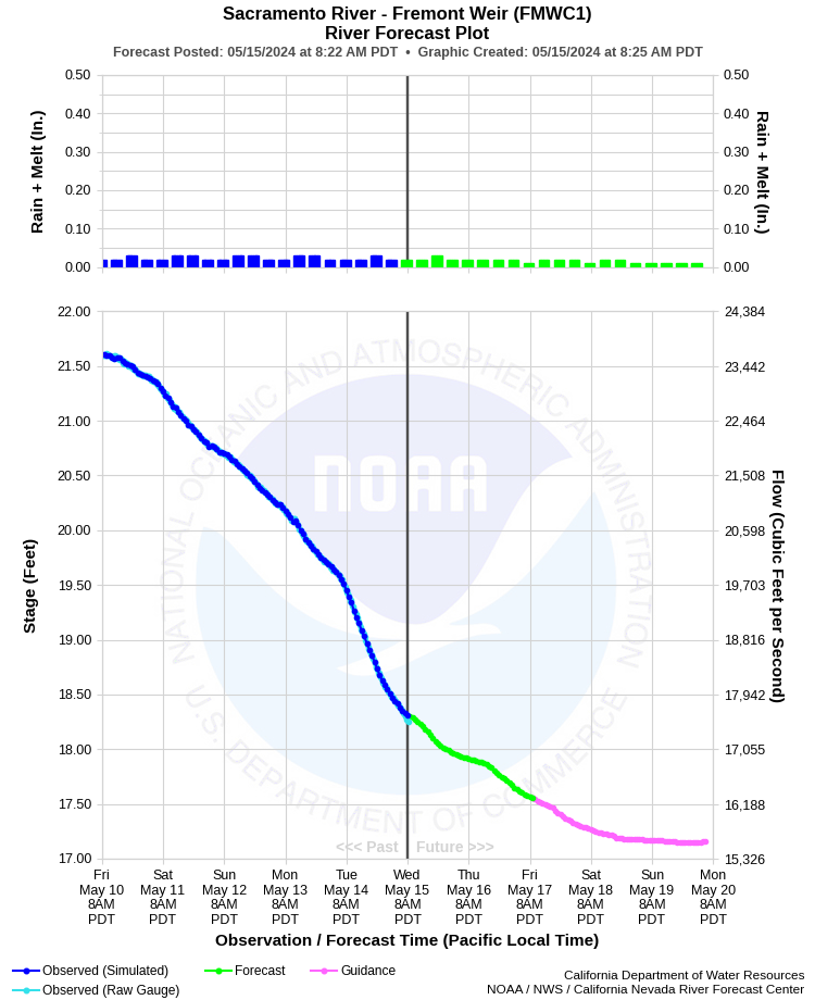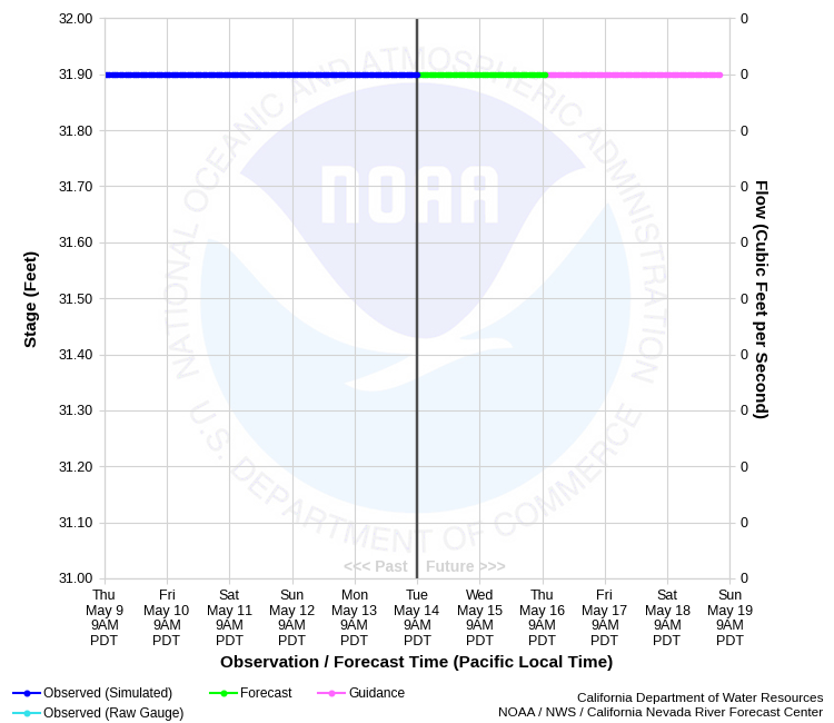
| SACRAMENTO RIVER - FREMONT WEIR (FMWC1) | ||
| Latitude: 38.77º N | Longitude: 121.67º W | Elevation: 40 Feet |
| Location: Sutter & Yolo County in CA | ||
| River Group: Lower Sacramento | ||
| Forecast Issued: | Apr 25 2024 at 8:18 AM PDT | Next Issuance: | Apr 26 2024 at 9:00 AM PDT |
| Monitor Stage: 32.0 Feet | Flood Stage: 39.5 Feet | Danger Stage: 40.5 Feet |
Prev. Point | Next Point | Tabular |
Back to Points | Back to Home | Ensemble Fcst |
  |
Historical Stage/Flow Data |
|||
|
Water Year
|
Peak Discharge (cfs)
|
Stage (feet)
|
Date
|
| Most Recent 5 Years | |||
2022* |
35,400 |
26.35 |
Oct 27, 2021 |
2021* |
16,600 |
17.75 |
Jan 31, 2021 |
2020* |
24,300 |
21.95 |
Jan 28, 2020 |
2019* |
128,200 |
34.90 |
Mar 3, 2019 |
2018* |
76,000 |
33.29 |
Apr 9, 2018 |
| Historical High Stage/Flow Events (Period of Record - Jan 1932 to Present) - Ranked by Flow | |||
1997* |
~390,000*** |
42.47** |
Jan 02, 1997 |
1986* |
~355,000*** |
41.70 |
Feb 20, 1986 |
2006* |
273,670 |
39.99 |
Jan 03, 2006 |
| * Discharge affected by regulation or diversion | |||
| ** Peak stage of record (Weir overflow depth of 8.97 feet) | |||
| *** Flow estimated | |||
| **** Datum changed from NGVD29 to NAVD88 on 10/01/2016. The difference is -1.45 ft and must be applied to all data before date to convert to NAVD88 | |||
| Location Photographs | ||
| ESRI™ Locator Map |
| Impacts - E19 Information | |
| 32.0 Feet | Fremont Weir crest elevation. Overflow begins into the Yolo Bypass flooding agricultural lands. |
| 33.1 Feet | At one foot overflow, River Road to Woodland is closed due to flooding. |
| 37.3 Feet | At 5.3 feet overflow, Egbert Tract floods. |
| 44.0 Feet | Stages above 44.0 feet result in flooding outside the levees. Top of levee. |