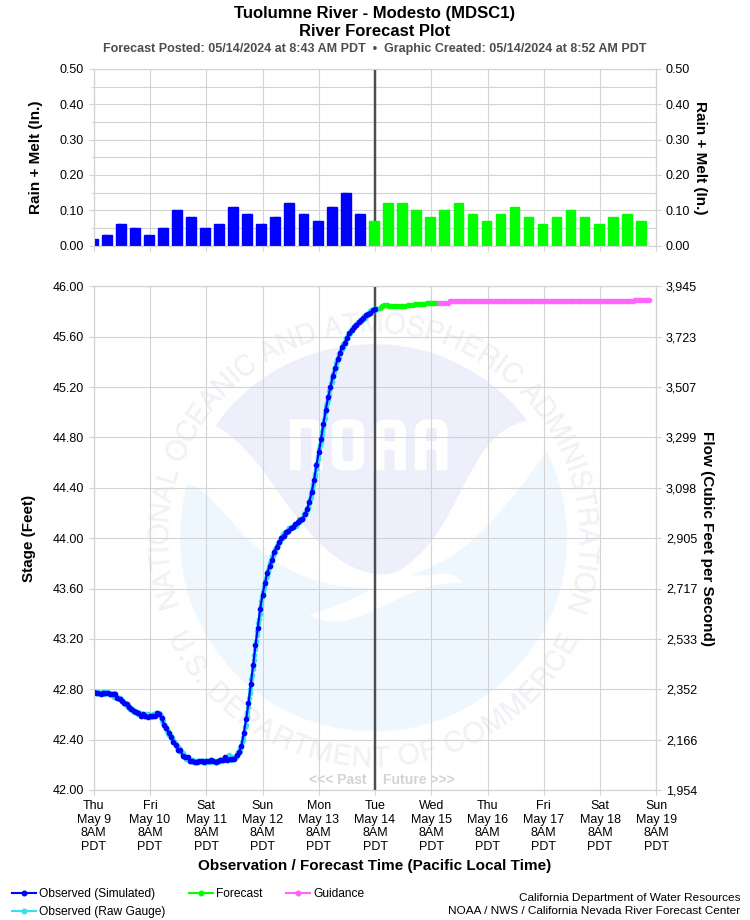
| TUOLUMNE RIVER - MODESTO (MDSC1) | ||
| Latitude: 37.63º N | Longitude: 120.99º W | Elevation: 60 Feet |
| Location: Stanislaus County in CA | ||
| River Group: San Joaquin | ||
| Forecast Issued: | Apr 25 2024 at 8:44 AM PDT | Next Issuance: | Apr 26 2024 at 9:00 AM PDT |
| Monitor Stage: 50.5 Feet | Flood Stage: 55.0 Feet |
Prev. Point | Next Point | Tabular |
Back to Points | Back to Home | Ensemble Fcst |
 |
Historical Stage/Flow Data |
|||
|
Water Year
|
Peak Discharge (cfs)
|
Stage (feet)
|
Date
|
| Most Recent 5 Years | |||
2022* |
1,710 |
41.32 |
Apr 17, 2022 |
2021* |
2,220 |
42.45 |
Apr 16, 2021 |
2020* |
1,410 |
40.39 |
Dec 4, 2019 |
2019* |
7,210 |
50.66 |
Mar 8, 2019 |
2018* |
5,030 |
47.26 |
Apr 7, 2018 |
| Historical High Stage/Flow Events (Period of Record - February 1895 to Present)** - Ranked by Flow | |||
1951* |
57,000 |
69.19 |
Dec 9, 1950 |
1997* |
55,800 |
71.21*** |
Jan 4, 1997 |
1956* |
37,600 |
66.43 |
Dec 25, 1955 |
1969* |
32,600 |
65.42 |
Jan 27, 1969 |
| * Discharge affected to unknown degree by regulation or diversion | |||
| ** Most recent continuous record back to 1943 with segmented periods back to Feb 1895 | |||
| *** Backwater effect caused by debris on railroad trestle 1500 ft downstream of gage | |||
| Location Photographs | ||
| ESRI™ Locator Map |
| Impacts - E19 Information | |
| 55.0 Feet | This is channel capacity through downtown Modesto. |
| 67.0 Feet | Extensive flooding occurs. Flows in excess of 40,000 cfs could cause extensive damage to residential, industrial, and commercial development in Modesto downstream of gage. |