
| ||||||||||||||||||
| CHOWCHILLA RIVER - BUCHANAN RESERVOIR (BHNC1) | ||||||||||||||||||
| Latitude: 37.21º N | Longitude: 119.97º W | Elevation: 450 Feet | ||||||||||||||||
| Location: Madera County in CA | ||||||||||||||||||
| River Group: San Joaquin | ||||||||||||||||||
| Issuance Time: | Jun 27 2025 at 8:21 AM PDT |
| Please Note: | Ensemble forecasts produced by CNRFC only consider meteorological uncertainty and do not account for hydrologic uncertainty. |
| 10-Day Accumulated Volume Plot |
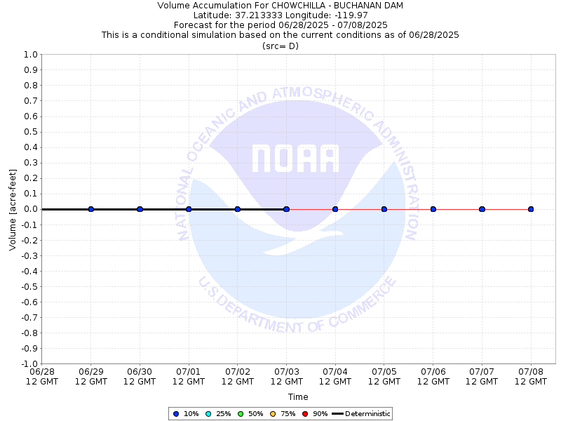
| Tabular 10-Day Streamflow Volume Accumulation (1000s of Acre-Feet) Data Updated: Jun 27 2025 at 8:25 AM PDT | ||||||||||
| Prob | Jun 28 | Jun 29 | Jun 30 | Jul 01 | Jul 02 | |||||
| 10% (Max) | 0.0 | 0.0 | 0.0 | 0.0 | 0.0 | |||||
| 25% | 0.0 | 0.0 | 0.0 | 0.0 | 0.0 | |||||
| 50% (Prob) | 0.0 | 0.0 | 0.0 | 0.0 | 0.0 | |||||
| 75% | 0.0 | 0.0 | 0.0 | 0.0 | 0.0 | |||||
| 90% (Min) | 0.0 | 0.0 | 0.0 | 0.0 | 0.0 | |||||
| RFC FCST | 0.0 | 0.0 | 0.0 | 0.0 | 0.0 | |||||
| Prob | Jul 03 | Jul 04 | Jul 05 | Jul 06 | Jul 07 | |||||
| 10% (Max) | 0.0 | 0.0 | 0.0 | 0.0 | 0.0 | |||||
| 25% | 0.0 | 0.0 | 0.0 | 0.0 | 0.0 | |||||
| 50% (Prob) | 0.0 | 0.0 | 0.0 | 0.0 | 0.0 | |||||
| 75% | 0.0 | 0.0 | 0.0 | 0.0 | 0.0 | |||||
| 90% (Min) | 0.0 | 0.0 | 0.0 | 0.0 | 0.0 | |||||
| Location Photographs | ||
| ESRI™ Locator Map |
| Official 7 Day National Weather Service Forecast (CAZ317) |
| Today: Sunny. Highs in the upper 90s. South winds up to 5 mph shifting to the west in the afternoon. Tonight: Clear. Lows around 70. Northwest winds up to 10 mph shifting to the northeast after midnight. Sunday: Sunny. Highs in the upper 90s. South winds up to 5 mph shifting to the southwest in the afternoon. Sunday Night: Clear. Lows in the upper 60s. Northwest winds 5 to 10 mph shifting to the north after midnight. Monday: Sunny. Highs in the upper 90s. Southeast winds up to 5 mph shifting to the southwest in the afternoon. Monday Night through Wednesday: Clear. Lows in the upper 60s. Highs in the upper 90s. Wednesday Night: Mostly clear. Lows in the upper 60s. Thursday through Independence Day: Clear. Highs in the mid 90s. Lows in the mid 60s. |