
| ||||||||||||||||||
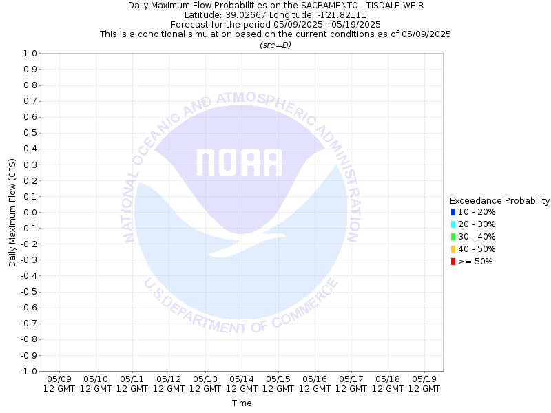
| SACRAMENTO RIVER - TISDALE WEIR (TISC1) | ||||||||||||||||||
| Latitude: 39.03º N | Longitude: 121.82º W | Elevation: 45 Feet | ||||||||||||||||
| Location: Sutter County in CA | ||||||||||||||||||
| River Group: Upper Sacramento | ||||||||||||||||||
| Issuance Time: | May 05 2026 at 8:13 AM PDT |
| Please Note: | Ensemble forecasts produced by CNRFC only consider meteorological uncertainty and do not account for hydrologic uncertainty. |
| 10-Day Probability Plot |


| Location Photographs | ||
| ESRI™ Locator Map |
| Flood Impacts | |
| 55.6 Feet | Stages above 55.6 feet results in flooding outside the levees. Top of levee. |
| 44.1 Feet | Tisdale Weir crest elevation. Overflow begins into the Tisdale Bypass. This water eventually ends up in the Sutter Bypass. |