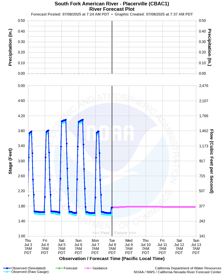
| SOUTH FORK AMERICAN RIVER - PLACERVILLE (CBAC1) | ||
| Latitude: 38.77º N | Longitude: 120.82º W | Elevation: 931 Feet |
| Location: El Dorado County in CA | ||
| River Group: Lower Sacramento | ||
| Forecast Issued: | Jul 07 2025 at 7:07 AM PDT | Next Issuance: | Jul 08 2025 at 9:00 AM PDT |
| Action/ Monitor: N/A | Minor Flood: N/A | Moderate Flood: N/A | Major Flood: N/A |
Prev. Point | Next Point | Tabular |
Back to Points | Back to Home | Ensemble Fcst |
| Please Note: | This section of the South Fork of the American River is highly regulated. Future releases from upstream reservoirs are often unknown. Users seeking recreational flow schedules should consult other sources. |
 |
Historical Stage/Flow Data |
|||
|
Water Year
|
Peak Discharge (cfs)
|
Stage (feet)
|
Date
|
| Most Recent 5 Years | |||
Data |
Currently |
Not |
Available |
| Historical High Stage/Flow Events | |||
Data |
Currently |
Not |
Available |
| Location Photographs | ||
| ESRI™ Locator Map |