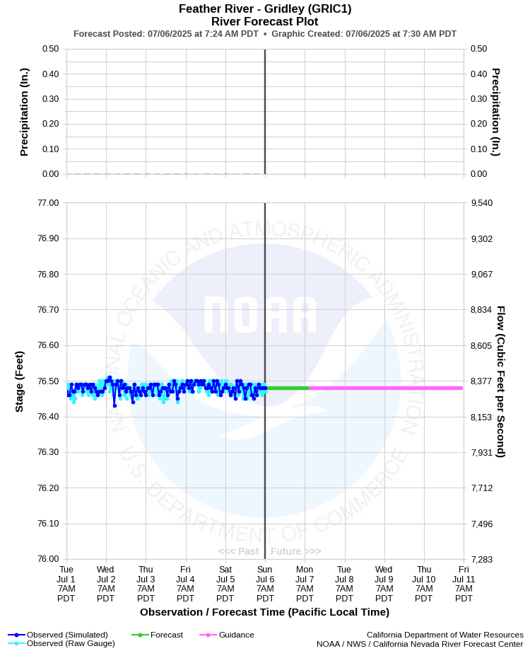
| FEATHER RIVER - GRIDLEY (GRIC1) | ||
| Latitude: 39.37º N | Longitude: 121.65º W | Elevation: 92 Feet |
| Location: Butte County in CA | ||
| River Group: Lower Sacramento | ||
| Forecast Issued: | Jul 06 2025 at 7:30 AM PDT | Next Issuance: | Jul 07 2025 at 9:00 AM PDT |
| Action/ Monitor: 94.0 Ft | Minor Flood: 103.0 Ft | Moderate Flood: 105.6 Ft | Major Flood: 106.6 Ft |
Prev. Point | Next Point | Tabular |
Back to Points | Back to Home |
 |
Historical Stage/Flow Data |
|||
|
Water Year
|
Peak Discharge (cfs)
|
Stage (feet)
|
Date
|
| Most Recent 5 Years | |||
2024* |
14,300 |
78.80 |
Feb 29, 2024 |
2023* |
38,900 |
85.49 |
Mar 20, 2023 |
2022* |
6,200 |
75.47 |
Mar 9, 2022 |
2021* |
3,310 |
73.81 |
Jul 2, 2021 |
2020* |
9,540 | 76.16 |
Oct 2, 2019 |
| Historical High Stage/Flow Events (Period of Record - Mar 1929 to Present) - Ranked by Flow | |||
1956 |
-- |
102.25** |
Dec 23, 1955 |
1986* |
-- |
100.06 |
Feb 19, 1986 |
1997* |
-- |
98.83 |
Jan 2, 1997
|
2017* |
129,000 |
96.37 |
Feb 14, 2017 |
1995* |
89,434 |
94.66 |
Mar 12, 1995 |
| 2006* | 76,964 | 91.97 | Jan 3, 2006 |
| * Discharge affected by regulation or diversion | |||
| ** Peak stage before regulation by Oroville Dam began in 1967 (also old datum) | |||
| *** Datum difference is -2.9 ft and must be applied to data to convert from NGVD29 to NAVD88 | |||
| **** Datum changed from USED to NAVD88 on 10/01/2019. The difference is -0.7 ft and must be applied to all data before date to convert to NAVD88 | |||
| Location Photographs | ||
| ESRI™ Locator Map |
| Flood Impacts | |
| 106.5 Feet | Stages above 106.5 feet result in flooding outside the levees. Top of levee. |
| 101.6 Feet | East bank overflows from Hamilton Bend to Four Corners and to near Hwy 40. |
| 99.3 Feet | Water flows over Hwy 70 south of east Gridley Road. |
| 97.5 Feet | General overflow of the east bank south of the gage to near Hwy 70 occurs. This floods extensive areas of farm land. |
| 95.3 Feet | Overflow of the east bank begins east of Gridley. This water flows into orchards. |