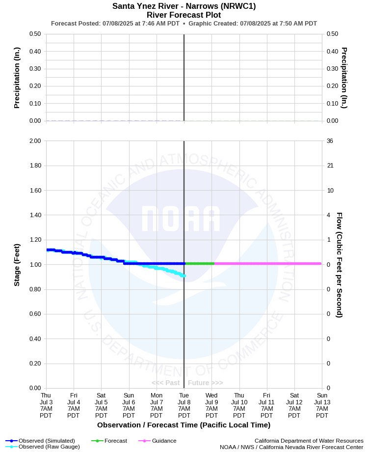
| SANTA YNEZ RIVER - NARROWS (NRWC1) | ||
| Latitude: 34.64º N | Longitude: 120.42º W | Elevation: 85 Feet |
| Location: Santa Barbara County in CA | ||
| River Group: Southern California | ||
| Forecast Issued: | Jul 07 2025 at 6:50 AM PDT | Next Issuance: | Jul 08 2025 at 9:00 AM PDT |
| Action/ Monitor: 11.0 Ft | Minor Flood: 15.0 Ft | Moderate Flood: 23.0 Ft | Major Flood: 28.0 Ft |
Prev. Point | Next Point | Tabular |
Back to Points | Back to Home | Ensemble Fcst |
 |
Historical Stage/Flow Data |
|||
|
Water Year
|
Peak Discharge (cfs)
|
Stage (feet)
|
Date
|
| Most Recent 5 Years | |||
2024* |
12,100 |
13.43 |
Feb 20, 2024 |
2023* |
24,400 |
17.76 |
Feb 25, 2023 |
2022* |
592 |
4.62 |
Dec 23, 2021 |
2021* |
2,710 |
6.96 |
Jan 28, 2021 |
2020* |
1,710 |
6.47 |
Apr 6, 2020 |
| Historical High Stage/Flow Events (Period of Record - Nov 1906 to Present)** - Ranked by Flow | |||
1969* |
80,000 |
24.20 |
Jan 25, 1969 |
1978* |
63,200 |
16.80 |
Mar 04, 1978 |
2001* |
42,300 |
20.56 |
Mar 06, 2001 |
1983* |
42,300 |
14.50 |
Mar 01, 1983 |
| * Discharge affected by regulation or diversion | |||
| ** Most recent continuous record back to Oct 1980 with segmented periods back to Nov 1906 | |||
| Location Photographs | ||
| ESRI™ Locator Map |
| Flood Impacts | |
| 24.0 Feet | Moderate flooding along river threatens farms and the city of lompoc. |
| 15.0 Feet | Flooding is a threat to lower lompoc, especially around Floradale Ave. |
| 13.0 Feet | Flooding threatens agricultural land and outlying grounds of federal prison. |