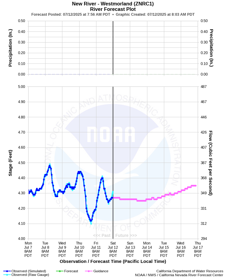
| NEW RIVER - WESTMORLAND (ZNRC1) | ||
| Latitude: 33.10º N | Longitude: 115.66º W | Elevation: -220 Feet |
| Location: Imperial County in CA | ||
| River Group: Southern California | ||
| Forecast Issued: | Jul 08 2025 at 7:50 AM PDT | Next Issuance: | Jul 09 2025 at 9:00 AM PDT |
| Action/ Monitor: N/A | Minor Flood: 10.0 Ft | Moderate Flood: N/A | Major Flood: N/A |
Prev. Point | Next Point | Tabular |
Back to Points | Back to Home |
 |
Historical Stage/Flow Data |
|||
|
Water Year
|
Peak Discharge (cfs)
|
Stage (feet)
|
Date
|
| Most Recent 5 Years | |||
Data |
Currently |
Not |
Available |
| Historical High Stage/Flow Events | |||
Data |
Currently |
Not |
Available |
| Location Photographs | ||
| ESRI™ Locator Map |
| Flood Impacts | |
| 10.0 Feet | Water would overtop the banks and impact irrigation infrastructure, local dirt roads, and agriculture land. |