| SMITH RIVER - DOCTOR FINE BRIDGE (FTDC1) | ||
| Latitude: 41.88º N | Longitude: 124.14º W | Elevation: 0 Feet |
| Location: Del Norte County in California | ||
| River Group: North Coast | ||
| Forecast Issued: | Jun 20 2025 at 11:22 AM PDT |
| Next Issuance: | Jun 21 2025 at 9:00 AM PDT |
| Action/ Monitor: 27.0 Ft | Minor Flood: 33.0 Ft | Moderate Flood: 36.0 Ft | Major Flood: 39.0 Ft |
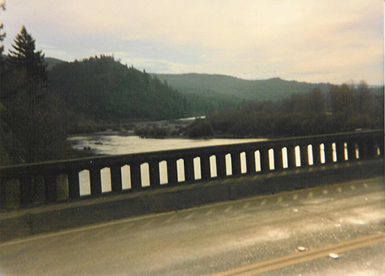
Upstream Photograph - Unknown Date (Unknown Stage)

| Location Photographs | ||||
Upstream Photo | ||||
* Photograph Credit - The National Weather Service (NWS) | ||||
 Return to Graphical River Guidance for: FTDC1 Return to Graphical River Guidance for: FTDC1 | ||||