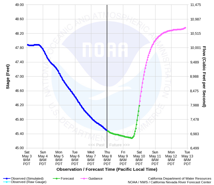
| SACRAMENTO RIVER - COLUSA WEIR (CLAC1) | ||
| Latitude: 39.24º N | Longitude: 121.99º W | Elevation: 62 Feet |
| Location: Colusa County in CA | ||
| River Group: Upper Sacramento | ||
| Forecast Issued: | Jan 05 2026 at 6:50 PM PST | Next Issuance: | Jan 06 2026 at 9:00 AM PST |
| Action/ Monitor: 60.9 Ft | Minor Flood: 70.1 Ft | Moderate Flood: 72.9 Ft | Major Flood: 73.9 Ft |
Prev. Point | Next Point | Tabular |
Back to Points | Back to Home | Ensemble Fcst |
  |
Historical Mean Dailiy Stage/Flow Data |
|||
|
Water Year
|
Peak Discharge (cfs)
|
Stage (feet)
|
Date
|
| Most Recent 5 Years | |||
| 2025 | 44,261 | 67.99 | Feb 07, 2025 |
| 2024 | 34,400 | 67.27 | Feb 21, 2024 |
| 2023 | 26,500 | 66.60 | Mar 16, 2023 |
| 2022 | 0**** | -- | -- |
| 2021 | 0**** | -- | -- |
| Historical High Stage/Flow Events (Period of Record - January 1911 to Present) - Ranked by Stage | |||
| 1940 | -- | 70.60* | Mar 1, 1940 |
| 1983 | 81,500 | 68.96** | Mar 4, 1983 |
| 1997 | 71,000 | 68.85 | Jan 3, 1997 |
| 1958 | 83,600 | 68.80*** | Feb 21, 1958 |
| 1965 | 77,400 | 68.50 | Jan 7, 1965 |
| 1943 | -- | 68.30 | Jan 24, 1943 |
| * Peak prior to regulation by Shasta Dam ** Peak after regulation by Shasta Dam *** Peak also occurred on Feb 26th **** No weir flow observed during the entire water year ***** Datum changed from USED to NAVD88 on 10/01/2019. The difference is -0.9 ft and must be applied to all data before date to convert to NAVD88 |
|||
| Location Photographs | ||
| ESRI™ Locator Map |
| Flood Impacts | |
| 73.9 Feet | Stages above 73.9 feet result in major flooding. Top of levee. |
| 60.9 Feet | Colusa Weir crest elevation. Overflow begins into the Sutter Bypass. |