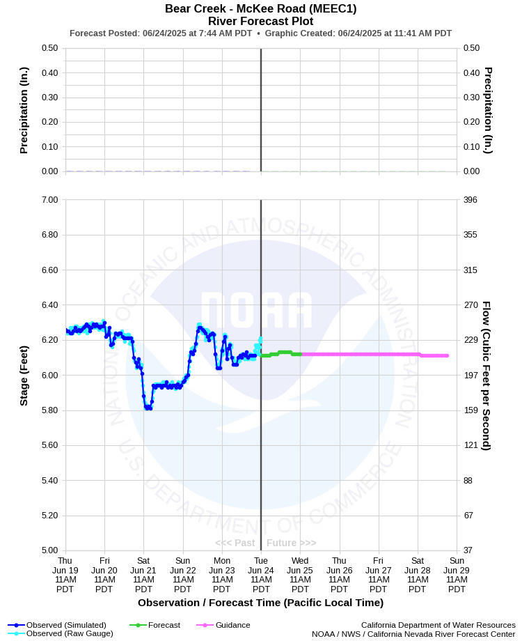
| BEAR CREEK - MCKEE ROAD (MEEC1) | ||
| Latitude: 37.31º N | Longitude: 120.44º W | Elevation: 187 Feet |
| Location: Merced County in CA | ||
| River Group: San Joaquin | ||
| Forecast Issued: | Jun 24 2025 at 11:40 AM PDT | Next Issuance: | Jun 25 2025 at 9:00 AM PDT |
| Action/ Monitor: 17.0 Ft | Minor Flood: 23.0 Ft | Moderate Flood: 24.6 Ft | Major Flood: 25.6 Ft |
Prev. Point | Next Point | Tabular |
Back to Points | Back to Home | Ensemble Fcst |
 |
Historical Stage/Flow Data |
|||
|
Water Year
|
Peak Discharge (cfs)
|
Stage (feet)
|
Date
|
| Most Recent 5 Years | |||
2024 |
2,390 |
14.80 |
Feb 8, 2024 |
2023 |
7,390 |
26.16 |
Jan 10, 2023 |
2022 |
580 |
8.01 |
Dec 28, 2021 |
2021 |
1,860 |
12.25 |
Jan 29, 2021 |
2020 |
2,310 |
13.51 |
Apr 6, 2020 |
| Historical High Stage/Flow Events (Period of Record - November 1956 to Present) - Ranked by Flow | |||
1956* |
9,500 |
22.90 |
Dec 25, 1955 |
2006 |
7,711 |
24.65 |
Apr 4, 2006 |
1958 |
7,400 |
16.90 |
Mar 16, 1958 |
2023 |
7,390 |
26.16 |
Jan 10, 2023 |
1965 |
5,640 |
-- |
Jan 7, 1965 |
1973 |
5,542 |
17.35 |
Feb 11, 1973 |
1962 |
5,380 |
-- |
Feb 15, 1962 |
| * Possible backwater effect | |||
| Location Photographs | ||
| ESRI™ Locator Map |
| Flood Impacts | |
| 27.2 Feet | On 1/10/23, the 26.18 foot Flood of Record took water up to the top of the levee system at the north end of Morse Drive and Thurman Court. This levee system has since been raised to 27.2 feet. |
| 26.18 Feet | Water impacts the bottom of the M Street and G Street Bridges. Water escapes its banks at E South Bear Creek Drive between Glen Avenue and Cameron Lane.Flood of Record - 1/10/2023 |
| 24.65 Feet | 2nd highest crest from 4/4/2006. |
| 24.0 Feet | At 24 feet, the water flows towards the low point of Cooper Drive, businesses begin to flood. |
| 23.0 Feet | The beechwood subdivision and the trailer park along the southern end of Bear Creek Drive floods in addition to Applegate Park on the south side of Bear Creek Drive. |
| 17.0 Feet | Storm drains begin to back up. Street flooding occurs primarily north of Bear Creek Drive and east of M Street. |
| 16.0 Feet | South bike path along Bear Creek floods downstream of the G Street bridge. |