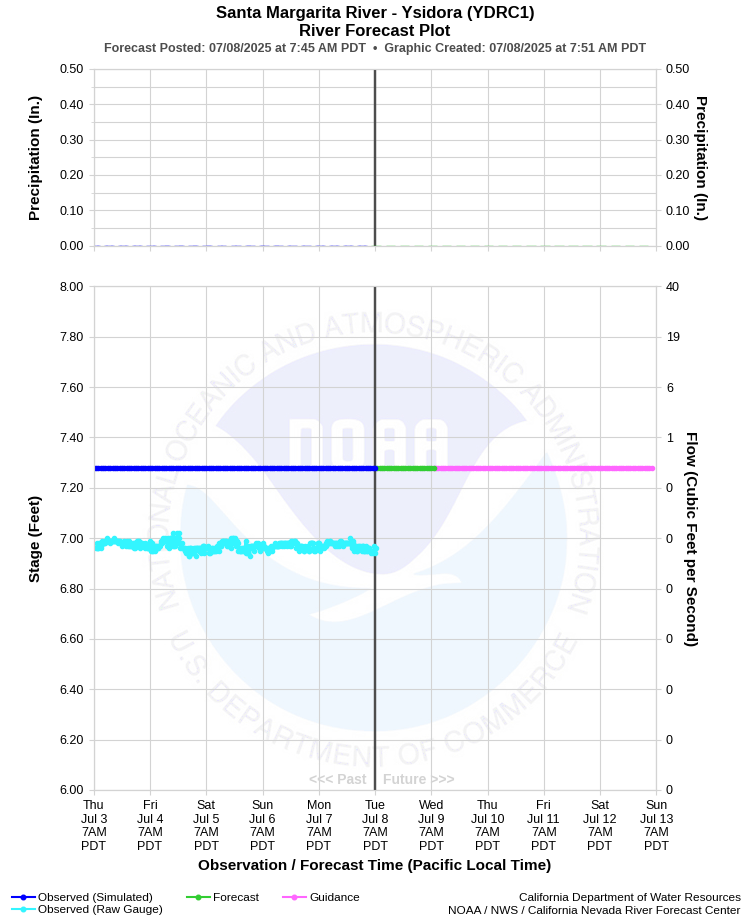
| SANTA MARGARITA RIVER - YSIDORA (YDRC1) | ||
| Latitude: 33.31º N | Longitude: 117.35º W | Elevation: 75 Feet |
| Location: San Diego County in CA | ||
| River Group: Southern California | ||
| Forecast Issued: | Jul 07 2025 at 6:50 AM PDT | Next Issuance: | Jul 08 2025 at 9:00 AM PDT |
| Action/ Monitor: 8.2 Ft | Minor Flood: 11.2 Ft | Moderate Flood: 13.3 Ft | Major Flood: 16.0 Ft |
Prev. Point | Next Point | Tabular |
Back to Points | Back to Home | Ensemble Fcst |
 |
Historical Stage/Flow Data |
|||
|
Water Year
|
Peak Discharge (cfs)
|
Stage (feet)
|
Date
|
| Most Recent 5 Years | |||
2024* |
8,250 |
11.26 |
Mar 31, 2024 |
2023* |
11,100 |
11.73 |
Jan 16, 2023 |
2022* |
4,270 |
9.37 |
Dec 24, 2021 |
2021* |
1,120 |
7.31 |
Dec 29, 2020 |
2020* |
6,680 | 10.78 |
Apr 10, 2020 |
| Historical High Stage/Flow Events (Period of Record - Sep 2001 to Present)** - Ranked by Flow | |||
1993* |
44,000*** |
20.47*** |
Jan 16, 1993 |
1927 |
33,600**** |
18.00 |
Feb 16, 1927
|
2017* |
31,200 |
14.60 |
Jan 22, 2017 |
1938 |
31,000 |
12.70 |
Mar 3, 1938 |
2019* |
29,500 |
15.07 |
Feb 14, 2019 |
| 2005* | 25,600*** | 13.5*** | Jan 11, 2005 |
| 1980* | 24,000*** | 18.80 | Feb 18, 1980 |
| Location Photographs | ||
| ESRI™ Locator Map |
| Flood Impacts | |
| 16.0 Feet | Major flood, 37,000 cfs. Widespread inundation of Camp Pendleton with evacuations likely. Flood of Record Jan 16, 1993. |
| 13.33 Feet | Moderate flood stage, 17,000 cfs. Vandegrift Road is flooded for several miles downstream of the gage site. Stuart Mesa Road is flooded near the bridge. |
| 11.16 Feet | Minor flood stage, 8,000 cfs. Vandegrift Road has begun to flood downstream of the gage. Stuart Mesa Road closures can be expected. |
| 8.18 Feet | 2,500 cfs. The river has reached monitor stage. Personnel begin regular patrols along the levee. |