| MERCED RIVER - STEVINSON (STVC1) | ||
| Latitude: 37.37º N | Longitude: 120.93º W | Elevation: 82 Feet |
| Location: Merced County in California | ||
| River Group: San Joaquin | ||
| Forecast Issued: | May 05 2024 at 8:40 AM PDT | Next Issuance: | May 06 2024 at 9:00 AM PDT |
| Monitor Stage: 68.0 Feet | Flood Stage: 71.0 Feet |
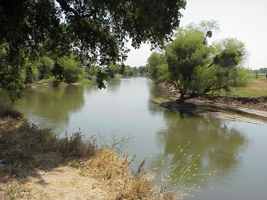
Upstream Photograph - May 22, 2000 (Stage 58.3 Feet)

| Location Photographs | ||||
Upstream Photo | ||||
* Photograph Credit - The National Weather Service (NWS) | ||||
 Return to Graphical River Guidance for: STVC1 Return to Graphical River Guidance for: STVC1 | ||||