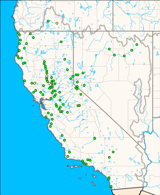
Skip Navigation Linkswww.weather.gov 
NOAA logo - Click to go to the NOAA homepage National Weather Service   NWS logo - Click to go to the NWS homepage    
California Nevada River Forecast Center
navigation bar decoration Home Button - Go to National Weather Service News Button - go to important news of the day page Organization Button - go to a listing of the organizational structure of the National Weather Service   search this website
 
 
Local Forecast By
"City, St"


Capital Photo Dam Photo Sierra Photo Sacramento River Photo Weir Photo

River/Reservoir Data

CNRFC Observed River Stage/Flow Text Products

A summary of river stages for the past 5 Hours updated 26 and 52 minutes past the hour.

California Nevada River Stage Summary
California Nevada River Stage Summary (Alternate Link)


CNRFC Observed River/Reservoir Maps

Basin Area Observation Time
Upper Klamath current hour 1 hour ago 2 hours ago
North Coast current hour 1 hour ago 2 hours ago
Northeast California current hour 1 hour ago 2 hours ago
Upper Sacramento current hour 1 hour ago 2 hours ago
Lower Sacramento current hour 1 hour ago 2 hours ago
Russian / Napa current hour 1 hour ago 2 hours ago
Central CA Coast current hour 1 hour ago 2 hours ago
San Joaquin current hour 1 hour ago 2 hours ago
Santa Ynez current hour 1 hour ago 2 hours ago
San Diego current hour 1 hour ago 2 hours ago
Truckee current hour 1 hour ago 2 hours ago
Humboldt (Upper) current hour 1 hour ago 2 hours ago
Humboldt (Lower) current hour 1 hour ago 2 hours ago

PLEASE NOTE: On October 1, 2006, the California Department of Water Resources(DWR) changed the reporting of all tide data collected at 44 locations in the Sacramento-San Joaquin Delta and Suisun Marsh from National Geodetic Vertical Datum 1929 (NGVD29) to the North American Vertical Datum 1988 (NAVD88) standard. Tide stage forecasts for four delta locations (Rio Vista, Antioch, Mallard Island and Venice Island) and river stage forecasts for three river forecast points (Mokelumne River at Bensons Ferry near Thornton, San Joaquin River at Mossdale Bridge, and Yolo Bypass at Lisbon) are now displayed as NAVD88. The change to NAVD88 also affects the monitor stage and flood stage at four locations. More information can be found on our October 2006 Datum Change Information webpage.


Reservoir Data

Monthly Reservoir Storage (Issued Daily at 10:00 AM PDT)


River Stages/Reservoir Links

River Stages - Hydrologic Information Center
California Dept. of Water Resources - River Stage/Flow Information
Telemetry Data - USACE - Los Angeles District
Water Control Data System - USACE - Sacramento District
Real-time Water Data - USGS - Oregon
Real-time Water Data - USGS - California
Real-time Water Data - USGS - Nevada
Current Creek Levels - Sacramento County - Dept of Water Resources

02


Webmaster
US Dept of Commerce
National Oceanic and Atmospheric Administration
National Weather Service
California-Nevada River Forecast Center
3310 El Camino Avenue, Room 227
Sacramento, CA 95821-6373

Tel: (916) 979-3056

Disclaimer
Information Quality
Credits
Glossary
Privacy Policy
Freedom of Information Act
About Our Organization
Career Opportunities

National Weather Service Mission: "The National Weather Service (NWS) provides weather, hydrologic, and climate forecasts and warnings for the United States, its territories, adjacent waters and ocean areas, for the protection of life and property and the enhancement of the national economy. NWS data and products form a national information database and infrastructure which can be used by other governmental agencies, the private sector, the public, and the global community."