Late December 2022-January 2023 and Late February-March 2023 Storm Summaries - The CNRFC has published two in-depth storm summaries documenting the historic period of storms affecting the region during the 2023 Water Year. The studies include a summary of winter conditions between December 2022 and March 2023, an analysis of observed precipitation data, a discussion of weather conditions and resulting hydrologic impacts, and a deep dive into precipitation verification. To view "Section 1: Late December 2022 and January 2023", visit the link here, and to view "Section 2: Late February and March 2023", visit the link here.
CNRFC ArcGIS StoryMap: 2023 Water Year Summary - The CNRFC has published an ArcGIS StoryMap reviewing the historic 2023 Water Year. This document provides a summary of the antecedent conditions, the series of winter storms to affect the region, the resulting impacts of these storms, and the prolonged spring and summer snowmelt period. To access this ArcGIS StoryMap, please visit the link here.
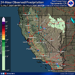
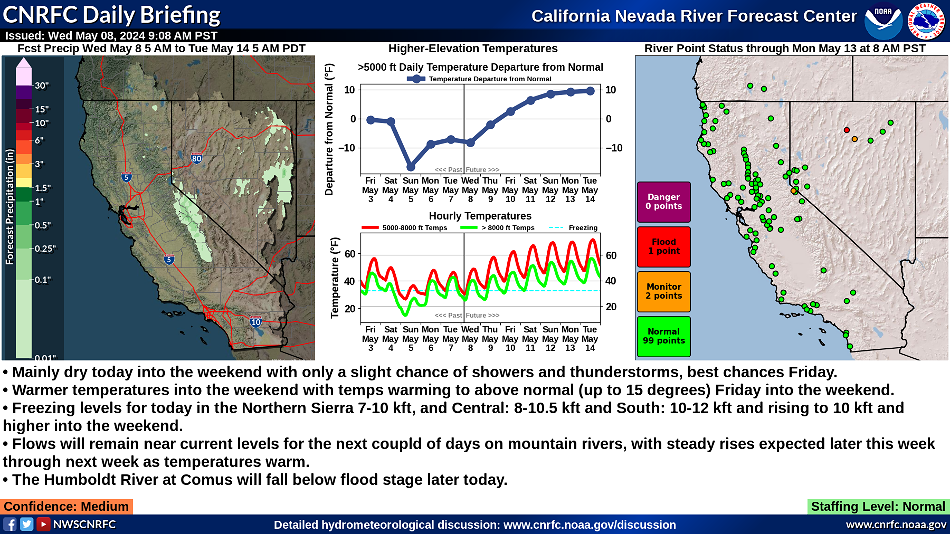
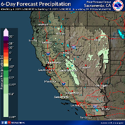
CNRFC Daily Briefing - View a graphical summary of current & forecast weather & hydrologic conditions. Updated by 10 AM PT.
Home Page Version: Interactive Map | Legacy   
This image is currently not available. Please try again later. The selected data is currently not available. Please check again later. The "Download PNG" feature is not available in this browser. Please try a different browser. Load a point data set to view data.
|
|||||||||||||||||||||||||||||||||||||||||||||||||||||||||||||||||||||||||||||||||||||||||||||||||||||||||||||||||||||||||||||||||||||||||||||||||||||||||||||||||||||||||||||||||||||||||||||||||||||||||||||||||||||||
| CNRFC Daily Briefing | ||
|---|---|---|
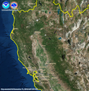
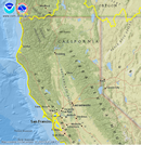
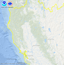
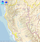
| Observed Precipitation | Graphical Discussion | Forecast Precipitation |
 |
 |
 |
| ** Note ** Click on Indvidual Images to Expand. | ||