
| Latitude: 39.37º N | Longitude: 121.65º W | Elevation: 92 Feet | |||
| Location: Butte County in California | Bulletin Group: Lower Sacramento | River Group: Feather Yuba | |||
| Action/Monitor: 94.0 Feet | Minor Flood: 103.0 Feet | Moderate Flood: 105.6 Feet | Major Flood: 106.6 Feet |
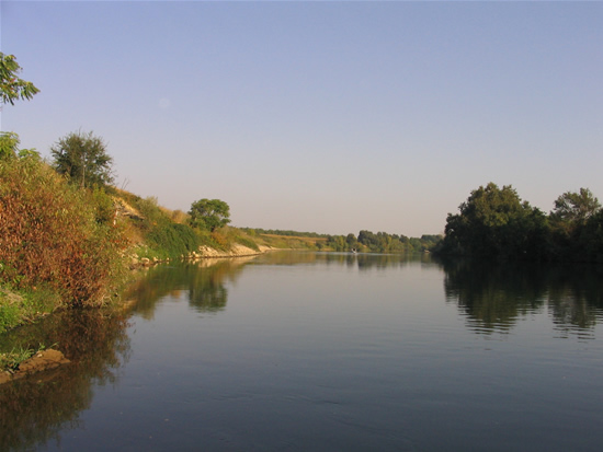
Upstream Photograph - September 12, 2006 (Stage 75.5 Feet)

| Location Photographs | ||||
Upstream Photo | ||||
* Photograph Credit - The National Weather Service (NWS) | ||||
 Return to Graphical River Guidance for: GRIC1 Return to Graphical River Guidance for: GRIC1 | ||||