
| Latitude: 39.18º N | Longitude: 121.52º W | Elevation: 88 Feet | |||
| Location: Yuba County in California | Bulletin Group: Lower Sacramento | River Group: Feather Yuba | |||
| Action/Monitor: 74.0 Feet | Minor Flood: 87.0 Feet | Moderate Flood: 90.0 Feet | Major Flood: 91.0 Feet |
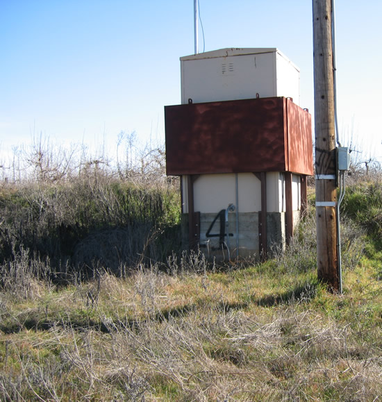
Gage House Photograph - January 29, 2007 (Stage 61.5 Feet)

| Location Photographs | ||||
Gage House Photo | ||||
* Photograph Credit - The National Weather Service (NWS) | ||||
 Return to Graphical River Guidance for: MRYC1 Return to Graphical River Guidance for: MRYC1 | ||||