
| Latitude: 34.57º N | Longitude: 117.32º W | Elevation: 2643 Feet | |||
| Location: San Bernardino County in California | Bulletin Group: Southern California | River Group: San Diego/Inland | |||
| Action/Monitor: N/A | Minor Flood: 16.0 Feet | Moderate Flood: 18.0 Feet | Major Flood: 19.0 Feet |
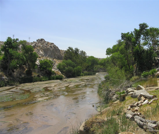
Upstream Photograph - Unknown Date (Unknown Stage)

| Location Photographs | ||||
Upstream Photo | ||||
* Photograph Credit - The National Weather Service (NWS) | ||||
 Return to Graphical River Guidance for: MVVC1 Return to Graphical River Guidance for: MVVC1 | ||||